The hydrography of this
region is divided into four basins of unequal surface area and
a network along the coastline.
Moving
from north to south, we come across:
The river Campo or ntem Basin.This river is navigable as far
it crosses the plain coastline.Among its tributary the only
one which can be visited is the Kie with the natural
boundary at the east between Gabon and Equatorial Guinea.
The Mbini or wele basin
of chain waters moves across a large part of the
country.River wele which has its source from gabonese
territory,crosses the continental region in its full
length while changes its course three times.
When it
touches the gabonese border, it flows again for 100km,in
the western direction and later directs towards north
west.It then enters the rough phase.The water becomes
fast and rough along its path until you had to see the
«gran escalón intérior»come strongly and hit the
mountaneous system in Nord-west.
From this moment it changes it direction and heads for the
South -West.
Creating a path for itself between the two mountaneous
systems.At the Rio M'ney confluence, the river regains
the course it had when it was about penetrating the
continental region, that West due to the roughnesss.
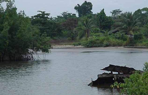
It reaches at «l’escalon de Litoral » and penetrates the plain
coastline.The last twenty (20)km which separates from the
atlantic are the only navigable part it opens into a wide
estuary filled up by tides and finally flows into the Ocean by
mouth of 1 300 metres .its entrance is forbidden by a bay
which should be wiped out one day to permit Ships to dock at
Mbini.
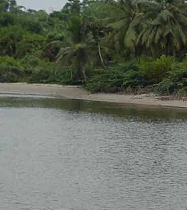
The basin of Rio Muni or the Muni river
in proper termes is not a river but a vast estuary from
where a stream of water originates, in which the most
important is the Rio Utamboni or Mitemele.This basin receives
overflowing water from South from the central
mountaneous region and from the south-west mountaneous
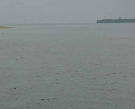
zone as well as water flowing from North of southern system.The Muni estuary communicates with
the ocean by a mouth of 17000 metres large and it has
maximum depth of 33metres.The phenomenon of tide is felt in
all the estuary,Therefore navigation is possible only to
average tons ships.Cogo is the only natural port in this
region
HYDROGRAPHY OF THE ISLANDER REGION
Hydrography
The waters of the Bioko island have certaine common
characteristics:
Variable and irregular
quantities of water according to season
Reduced path which never exceeds
Intense abrasive power
resulting into existence of deep holes.
Constant shock due to
adropt flows which conducts the flowing waters into sucessive
falls.Therefore the Rio Eola flows into the Ocean by a waterfall
30metres .River iiadey flows from the plateau of Moca by strong fall
of about 300 metres.
Lakes which attracts tourists in the
Bioko island are five in number.They occupy all the craters
interior and are fed by stream of torentia waters.By their other
of importance:
Lake Loreto, at 1000 metres altitude,attains 80 metres depth.
Lake Claret, Situated above
Basacato del Oeste,at
1000 metres,500 metres raduis..
etang
of Lombé,Situated
above the Bocoricho at 800 metres
Etang
of Eri, Situated at 1700 metres in «gran caldera de Luba» and
sourrended by an important cane(*).